Biomass Resource Assessment >> Page 2
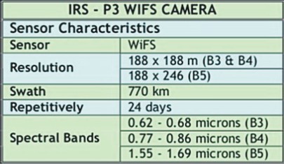
NFP has integrated these crop related data into a data base to be used for creating the spatial atlas- Indian Bio-Residue Map (IBRM). The spatial maps providing the Land use were obtained from RRSSC (ISRO) through their satellite imagery at a ground resolution of 184x184 m. This was then set into GIS (Geographical Information System) by NFP (CGPL, IISc, Bangalore) to use the statistical crop data for spatial distribution at district level. AI based on Fuzzy Logic is adopted for distributing the polygons (with the appropriate crop names) by combining the information on the areas from the land-use with the statistical data on the crop area. The Maps were re-processed to also embed the District and taluk level spatial data extracted from the same crop distributed map.
Why Geographical Information System?
The biomass is geographically distributed [spatial] and has to be transported to power generation centers economically. It is not enough that a simple data base is provided with conventional queries to assess the biomass. The biomass assessment has to be done geographically based on the location of ‘Use centers’. Additionally, Biomasses are of different types and exhibit different power generation characteristics. These features prompt the use of Geographical Information System [GIS] to asses the biomass along with conventional information data bases. This is done in two ways to make it available to the users. One is a stand alone digital atlas queriable on the user’s PC and the other is web enabled atlas. Indian Bio-Residue Map (IBRM) as a stand alone package.
This is redistributable software which can be installed on the client PC which will contain a one time specific spatial biomass data. The different types of Biomass can be assessed in the circle of interest to forecast the power generation potential for either budgetary purposes or as an input to a DPR [Detailed Project Report] to set up an energy generation center. The only problem one may face is to update the Atlas if the year of assessment required is far away from that of the year of formation of the Atlas.
Web enabled Indian Bio-Residue Map (IBRM)
Unlike the stand alone package this is directly available to any remote client dynamically on his desk top PC [Personal Computer]. The updates on the biomass information will be seamlessly available to the users as the data sits on a central information server. The rest of the features are common with a difference that the circle of interest will be introduced in the next phase. The web Atlas is cautiously designed keeping in view the internet response to every query of the client. The atlas can be accessed through normal internet browsers.
Previous Page Next Page